 Français
 English
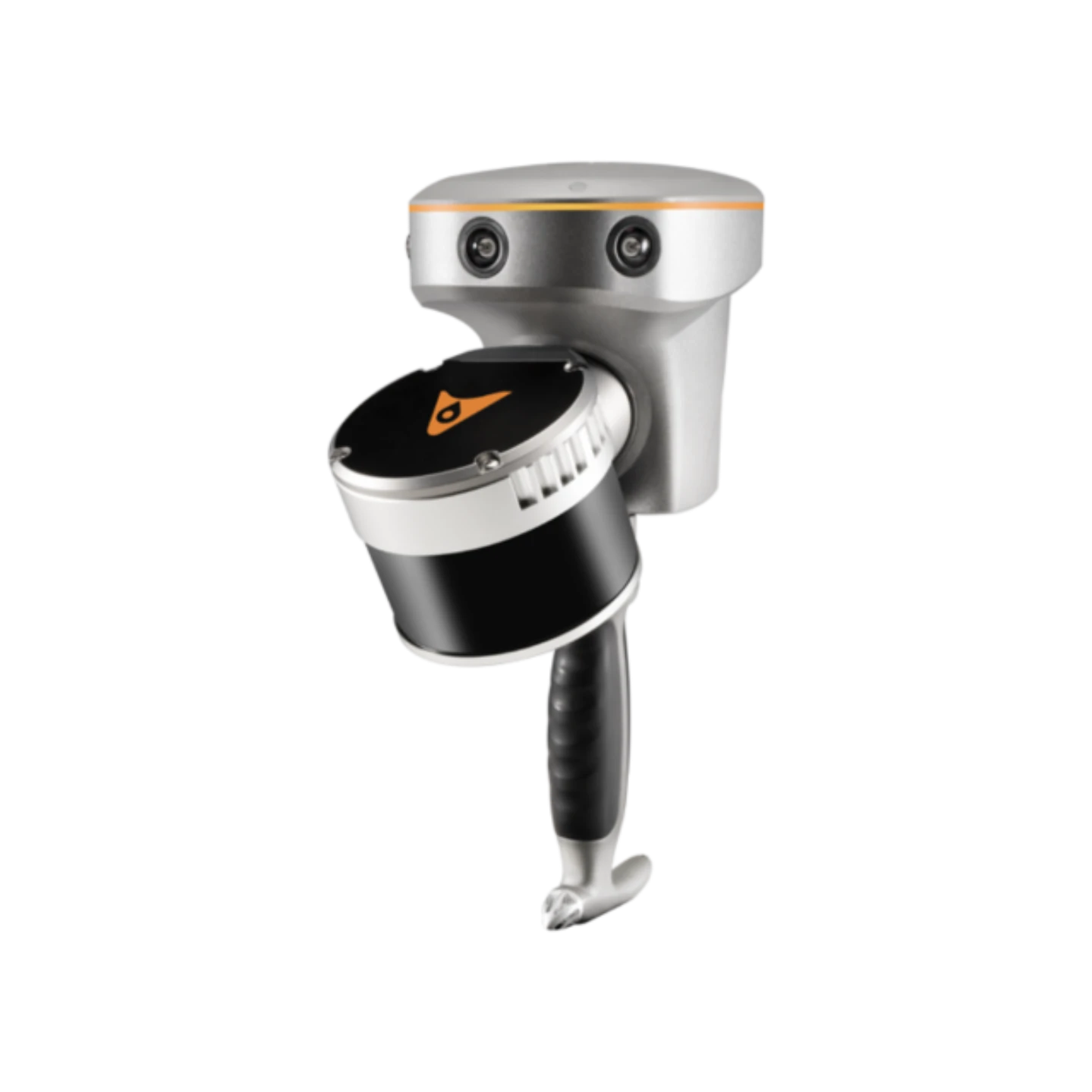
Handheld Slam 3D Laser Scanner + GNSS RTK System
Product Code
RS10
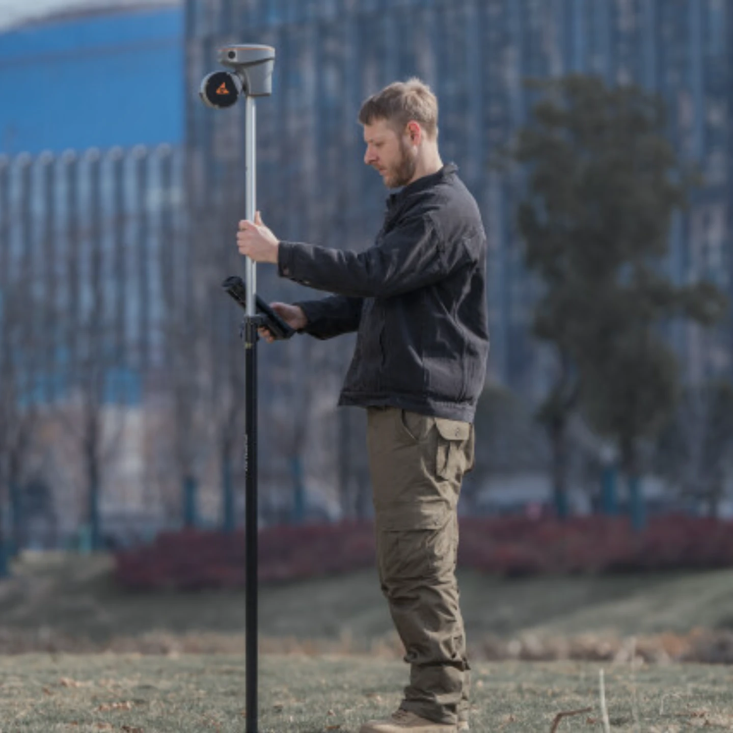
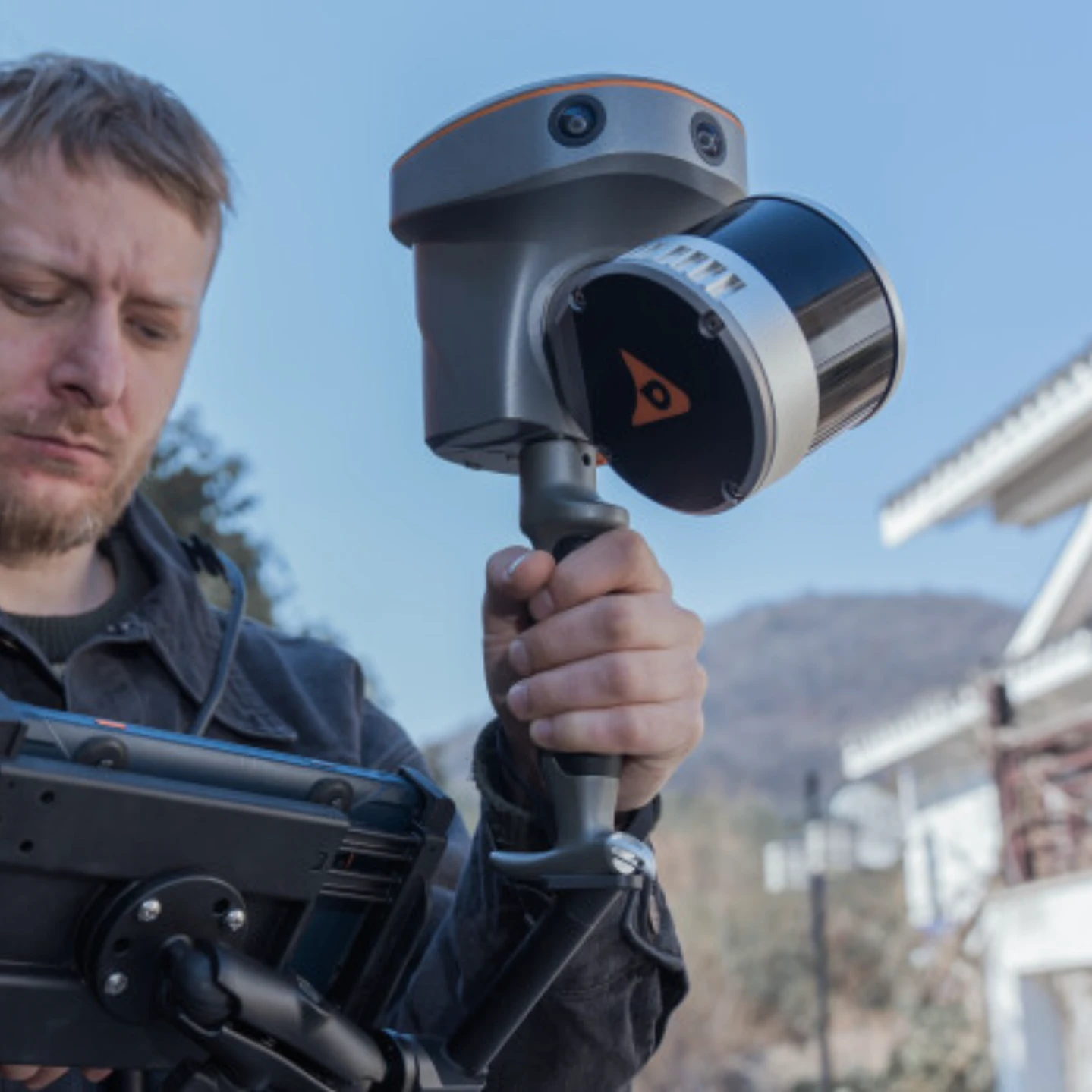
The RS10 brings a new approach to geospatial surveying by integrating GNSS RTK, laser scanning, and visual SLAM technologies into a single platform designed to improve the efficiency and accuracy of indoor and outdoor 3D scanning and surveying tasks. The RS10 is a versatile solution for surveying, civil engineering, and BIM professionals, as well as for applications such as agricultural and forestry surveying, power line inspection, material pile volume calculation, and data collection in underground spaces. With the RS10, surveyors are able to overcome the challenges of surveying in areas with poor or no GNSS signals, bringing a new level of flexibility and accuracy to their work. By supporting both traditional GNSS RTK surveying and innovative 3D reality capture, the RS10 simplifies fieldwork and improves data reliability.
REAL-TIME SLAM CAPABILITIES
Equipped with a powerful on-board processor, the RS10 provides real-time SLAM (Simultaneous Localization and Mapping) capabilities to create georeferenced point clouds directly in the field without the need for post-processing. With immediate feedback on the collected data, users can make adjustments on the fly to ensure complete and detailed scan coverage. The RS10 can map large areas up to 13,000 square meters in real-time, making it ideal for rapid or complex surveying projects where time and accuracy are critical.
EFFICIENT LOOP-FREE WORKFLOW
The integration of high-precision GNSS and SLAM technologies eliminates the need for traditional loop closure, which often complicates the data collection process for handheld scanners. By enabling loop-free path planning, the RS10 streamlines field data collection and significantly reduces the time and effort required to complete projects.
SEAMLESS OUTDOOR AND INDOOR MAPPING
The transition between outdoor and indoor environments is seamless with the RS10's ability to use the same coordinate system without the need for additional georeferencing. Users can select the desired CS (coordinate system) directly in the field using either the SmartGo or LandStar™ SWs, ensuring consistent, simplified and accurate data collection in both outdoor and indoor environments.